How far will you walk tonight?


#162

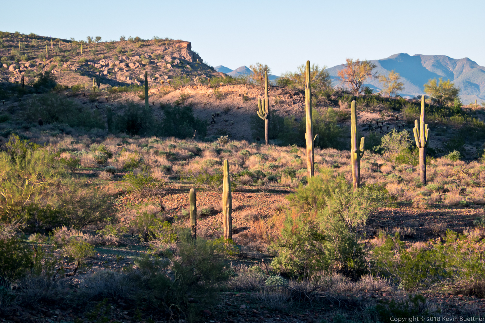
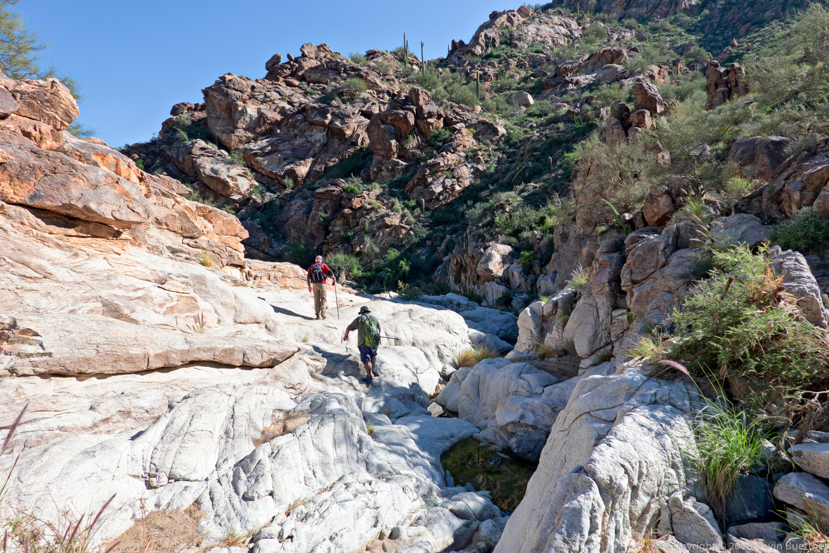
6.5 miles on Monday night.

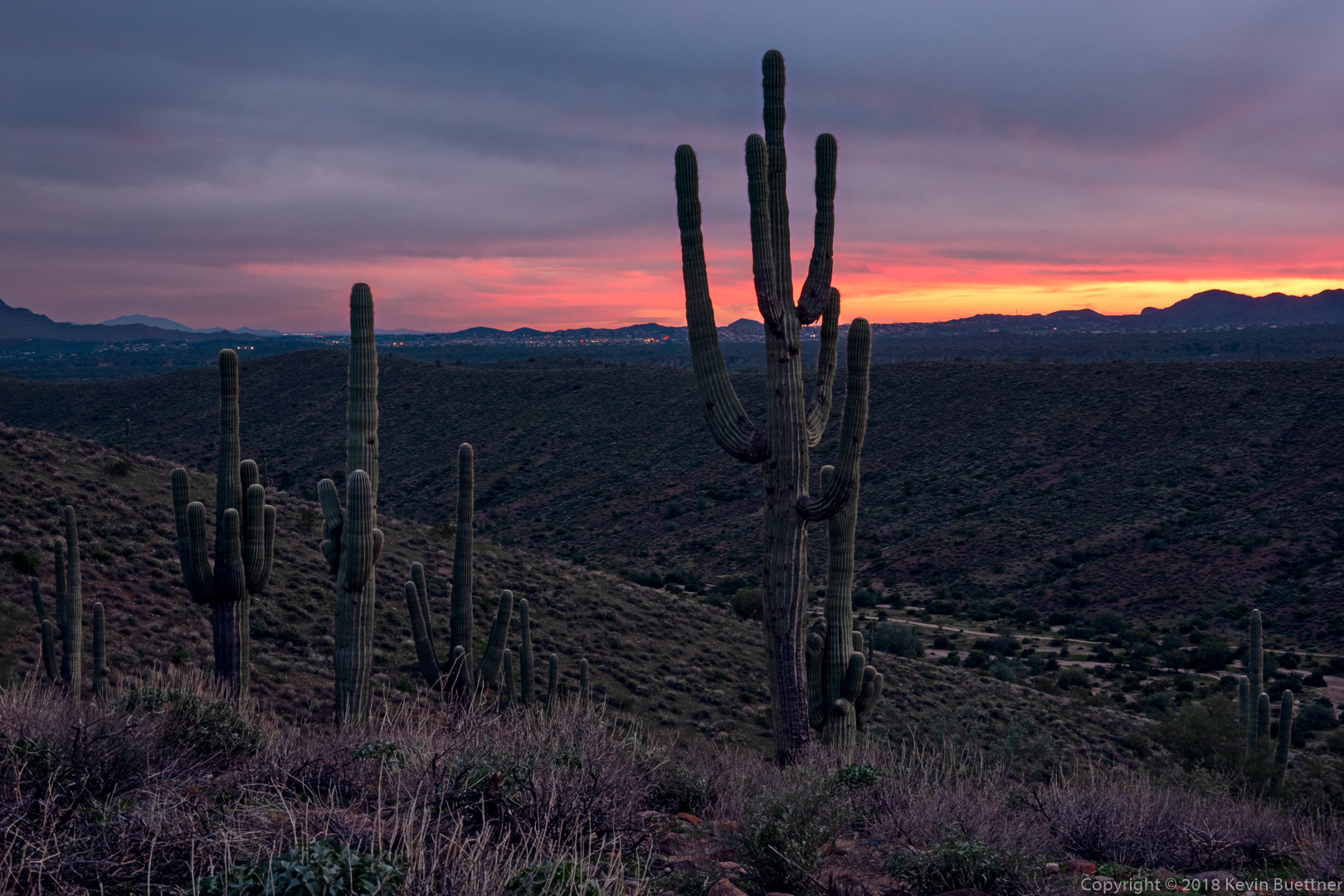
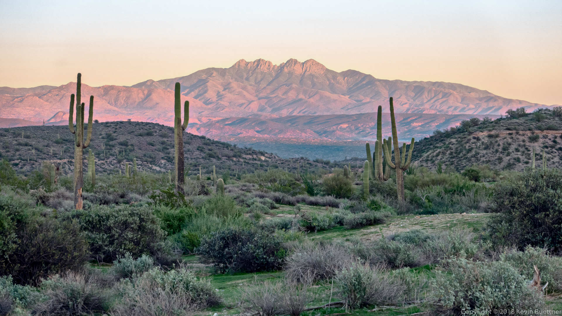
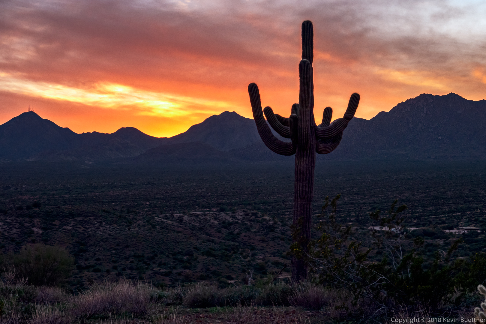
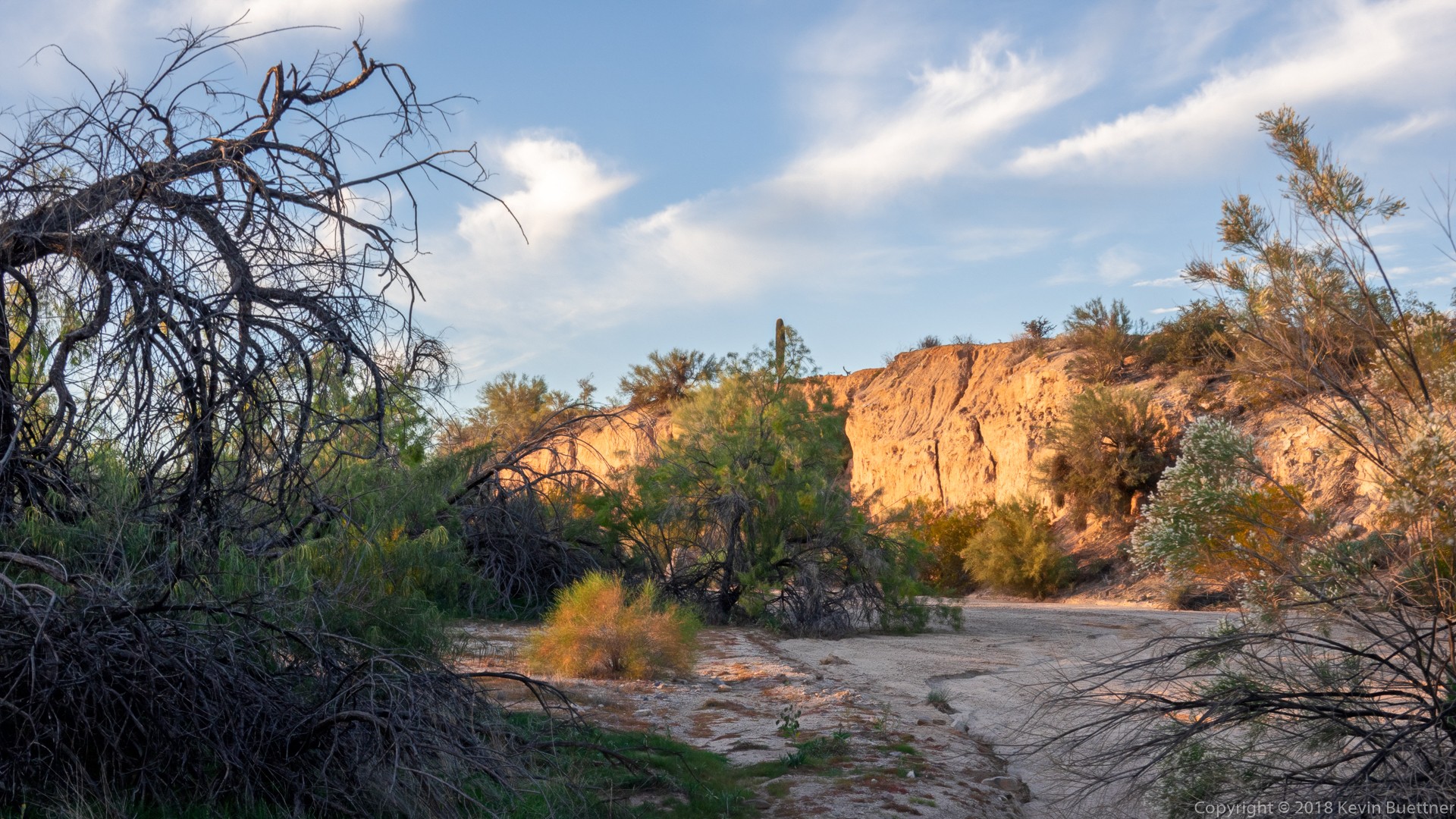
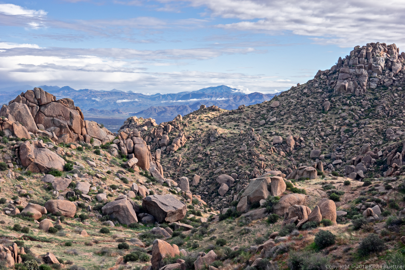
As the days are getting shorter, I’ve noticed that I’m hiking in increasingly dark conditions. While there is light when I start, it’s been fading pretty fast. As such, I’ve noticed that the ISO on my handheld shots has been going up dramatically. (Which means more noise, less sharpness, poorer quality.) So… on this Monday evening’s hike, I brought along my tripod and managed to get some exposure bracketed images at the base ISO of the little camera that I often use when hiking.

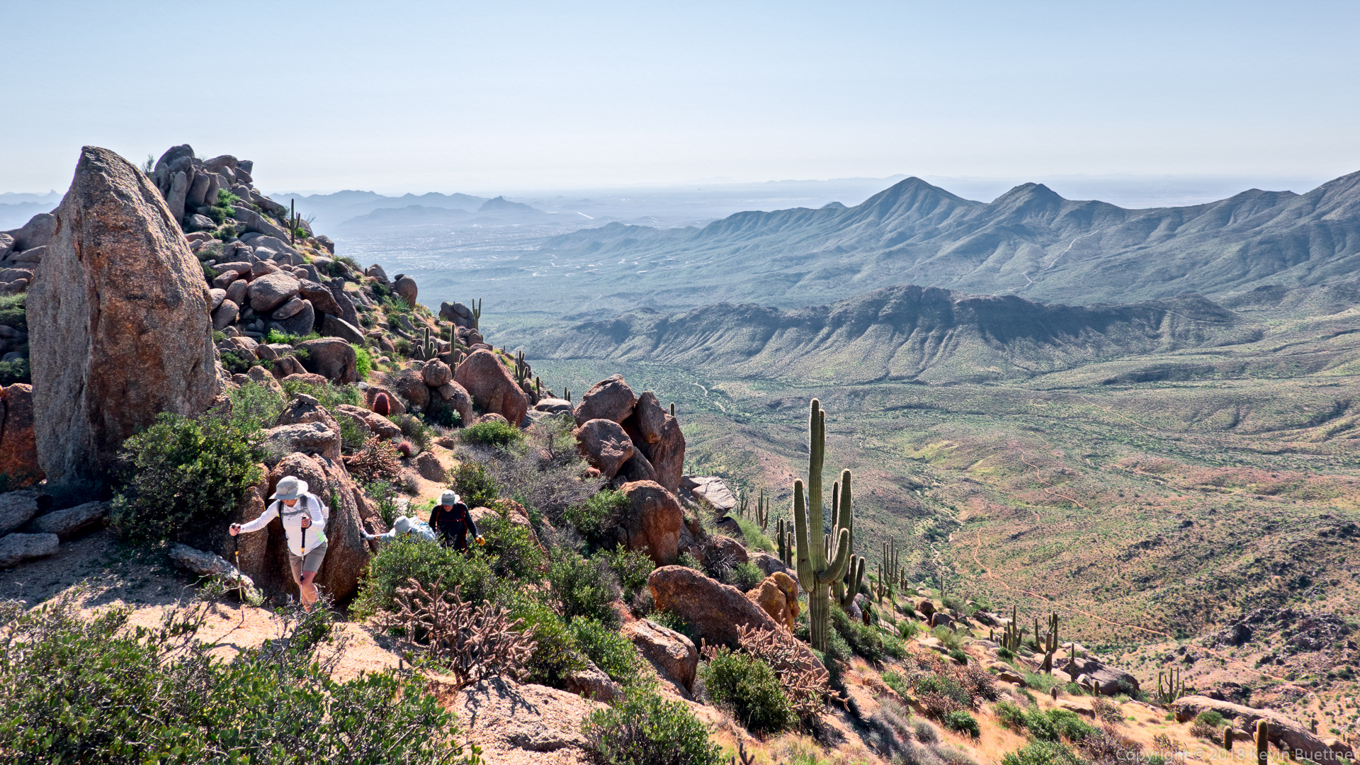
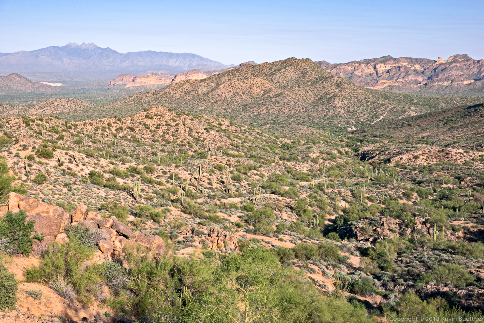
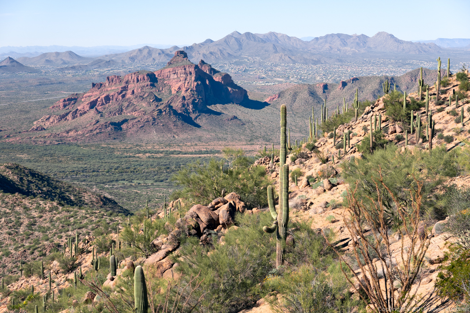
Here’s a shot looking toward Fountain Hills from the ridgeline of the Scenic Trail in McDowell Mountain Regional Park:


#163

10 miles on Wednesday night. This is a view from the Escondido Trail…


(KetoQ) #164

Kevin, I love how you leveraged the fading light and composed the sunset it in this photo. I absolutely love the faint lights from the city as well. This creates a still and quiet counterpoint in the foreground, showing another side of what this landscape is all about. Plus, I love this time of day, because to me, it is very spiritual.


#165

10.6 miles on Friday.

I lead a group hike on Fridays. It’s often just 2 or 3 people, and sometimes I’m by myself, but today we had a group of 7. Below is a photo of the group going up a waterfall section - it actually had a trickle of water flowing down it today. It’s normally dry, but the rock has been smoothed by the water making it somewhat slippery to ascend.


#166

9.5 miles on Sunday. Below is a view from the Limestone Trail #252, which may be accessed from Spur Cross Ranch Conservation Area.


(Doug) #167

Kevin, so GREEN - how can this be?


#168

That surprised me too.

We’ve had a lot of rain over the past few months. There is a creek - Cave Creek - that sometimes flows through that area. Cave Creek had actual flowing water in it yesterday. It’s often the case, when I hike there, that that section of the creek is totally dry. (It’s partially fed by the springs at Seven Springs, so if you go upstream, the creek will often have water as you get nearer to the springs.) In any case, I had to ford the creek a number of times during my hike yesterday. That doesn’t happen very often.

The green will most likely disappear pretty quickly if we don’t get more rain. Here’s another picture from the same hike. This one is of Elephant Mountain with the fortress pinnacle below and to the left. The native people who lived in the area (long ago) apparently used it to defend themselves from other tribes. There is basically just one way to the top on the other side. Small stone walls had been constructed near the top to help defend that side. The green patch of grass in the foreground is atypical - it’s not something that you see very often around here.


#169

7.4 miles on Wednesday night. Below is a photo of Four Peaks near sunset.


(Adriana) #170

Have been away from the Forum for a while, and missed some great photos from this thread.

@KevinB You make me want to visit Arizona :heart_eyes:


#171

10.7 miles w/ nearly 2500 feet of elevation gain on Friday morning into afternoon. Four other hikers joined me for this hike. Three of them are visible in this photo from the ridge leading to the highest point in the McDowells.

More photos from this hike can be seen here:

http://buettner.to/blog/index.php/2018/11/09/friday-fitness-hike-261/


#172

9.8 miles on Sunday afternoon. This is a view from the Bronco Trail #245 in the Tonto National Forest:

More photos here:

http://buettner.to/blog/index.php/2018/11/11/sunday-hike-bronco-trail-245/


#173

10.3 miles on Wednesday Night. Below is a photo of the McDowell Mountains silhouetted at sunset.


#174

11.8 miles on Friday morning. This flower is a chuparosa:


(Empress of the Unexpected) #175

:heart::heart::heart:


#176

Seven miles on Sunday - my wife and I hiked some trails that were totally new to us.


#177

12.3 miles on Friday…


#178

13.3 miles w/ nearly 2400 feet of total ascent on Sunday. This is a view of Red Mountain as I neared Peak 2972, which is the highest point in the Usery Mountain range. Red Mountain is off limits for hiking as it’s on tribal land. (I summitted it many years ago prior to becoming aware of this fact though.)


#179

7.7 miles on Wednesday evening…


#180

10.6 miles on Friday.

Shown below is one of the crested saguaros found along Cave Creek Trail #4.

Here’s a much smaller cactus:


#181

11 miles on Friday…